Camí de Ronda at a glance
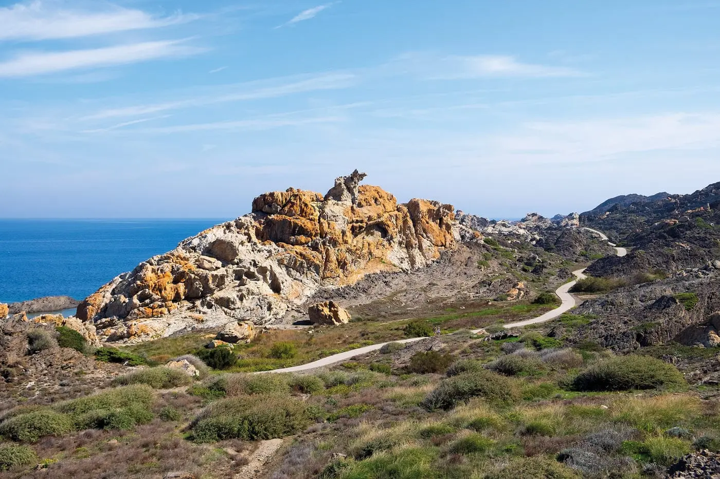
- what: The Costa Brava Coastal Trail, marked GR-92 (Camí de Ronda)
- course: From the Franco-Spanish border at Portbou in the north to Blanes in the south
- stages: Depending on the provider 9 or 10 stages for the whole way
- origin: The path was not designed for hikers, but for customs officials (according to a hiking site from 1829 on patrols of the Spanish Coastal Police)
- Self-going sections: Many sections can be walked as a half-day or day hike, as in our reports below
Our hikes on the Camí de Ronda and the surrounding area
- Fancy hiking: Camí de Ronda
- Between rock face and Mediterranean: Camí de Ronda from Pals to Begur
- Camí de Ronda from Sa Tuna to Sa Riera
- Hike from Calella de Palafrugell to Tamariu
- Hiking in Cadaqués: Portlligat to Cadaqués
- Hiking between Roses and Cadaqués
- Hiking in paradise: Cadaqués and Cap de Creus
- Cap Norfeu between Roses and Cap de Creus
- Paradise: Hike to Platja de Castell
Frequently asked questions about Camí de Ronda
What is the Camí de Ronda?
The Camí de Ronda is the coastal hiking trail of the Costa Brava. It is marked as GR-92 and connects the border at Portbou with Blanes.
How many stages does the Camí de Ronda have?
Depending on the provider, 9 or 10 stages are recommended for the whole way.
What was the Camí de Ronda originally built for?
Not for hikers, but for customs officials who controlled the coast. According to a hiking site, the Spanish Coastal Police patrols began in 1829.
Can you only hike sections?
yes Our reports show half-day and day hikes, for example from Portlligat to Cadaqués or from Pals to Begur.
Sources for the information in the box and in the questions: Costa Brava hiking: GR-92 at a glance, Hiking Deluxe: GR-92, Natour: Camí de Ronda, Hiking Tours: Camí de Ronda. The origin of the path is only mentioned in one source, please understand it as a hint.