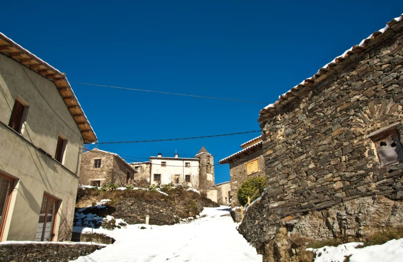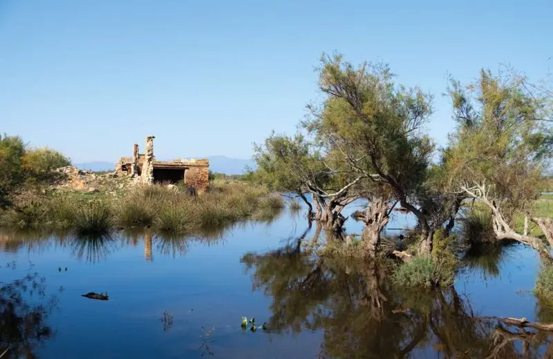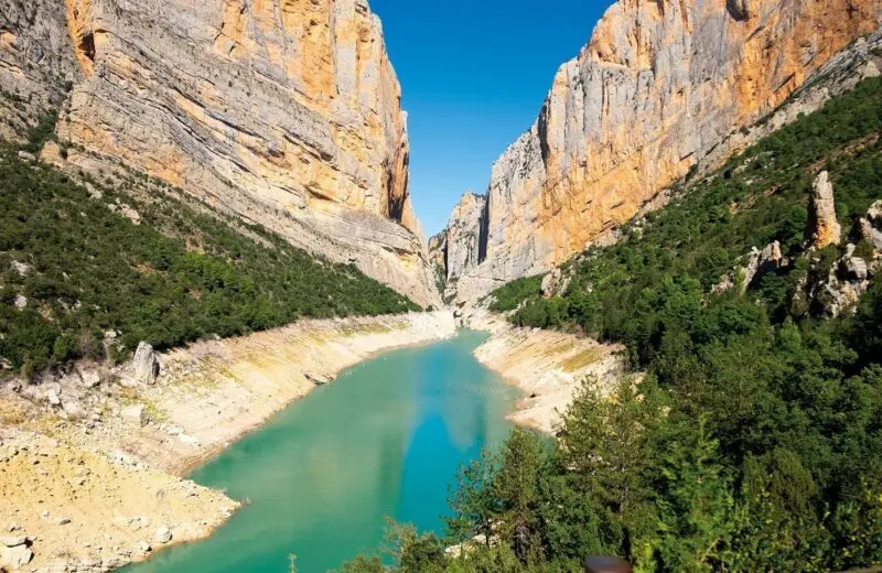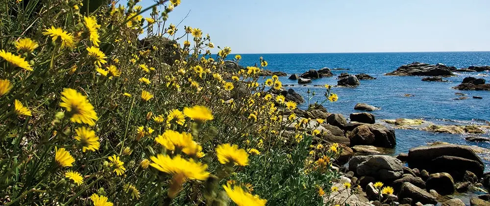
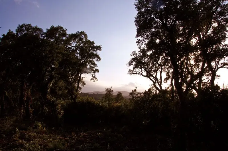
Spring and autumn reveal another side of the Costa Brava: coastal paths, cork-oak woods, vineyards and foothills of the Pyrenees. This article first appeared in 2013 to introduce an ADAC hiking guide to Catalonia. We retain that original book recommendation as an archive item and add practical route information for today.
A 2013 book recommendation
The book discussed in the original article was the “ADAC Wanderführer Katalonien” (ISBN 9783862070756), with trail descriptions, maps and travel suggestions. It was a 2013 publication, not a new release today. Older printed maps, app functions and access information should never be assumed to be up to date.
Three officially documented walks
For current trip planning, the Cap de Creus Natural Park publishes marked walks and estimated times. The La Selva de Mar circuit is 3.5 km and takes approximately 1 hour 15 minutes; the Roses–Cobertella circuit is 4.1 km and approximately 1 hour 30 minutes. The one-way route from Cadaqués to the Cap de Creus headland is 9.2 km and takes approximately 3 hours 15 minutes, so plan how you will return.
Coastal paths and the hinterland
The Camins de Ronda coastal paths and sections of the GR 92 connect coves, fishing villages and viewpoints along the Costa Brava. They are scenic but can include steep steps, exposed stretches and uneven ground. The regional tourism authority also recommends the Itinerànnia network, greenways and other waymarked inland routes for visitors seeking a different landscape.
Safety and conservation
Cap de Creus has strict conservation rules. In its integral nature reserves, hikers must remain on designated trails. High wildfire risk may bring temporary access restrictions, so check the current Pla Alfa status and official park notices before setting off. Carry water, sun protection, sturdy footwear and a map that works offline. Published distances and times are only planning estimates.
Frequently asked questions
Is this a new ADAC guide?
No. This is an archive update of a book article originally published in 2013, not an announcement of a current edition.
What is the book’s ISBN?
9783862070756, which identifies the edition discussed in the original post.
What is an easy Cap de Creus walk?
The official La Selva de Mar loop is 3.5 km, with an indicative walking time of 1 hour 15 minutes.
Can I hike from Cadaqués to Cap de Creus?
Yes. The official marked trail is 9.2 km one way; arrange your return and check access conditions.
Can hikers leave the trails in the park?
Not inside integral nature reserves, where visitors must stay on designated paths.
When is a good time to hike?
Spring and autumn are often comfortable; still check the forecast, wind, heat and wildfire restrictions.